Our Products
Leverage our agriculture drones and sensors to capture high-resolution imagery, powering critical decisions with accurate, timely, and reliable agronomic insights.
More Accurate Agronomic Data,
50% Faster
Understand what’s happening across every acre with the ability to closely monitor performance with real-time insights drawn from satellite, weather, and soil data to give a quick look into where to focus time and resources.
Capture the highest quality imagery with Sentera sensors. Paired with flexible solutions to fly when it works for you, trust that you’ll get the imagery you need to validate performance and outcomes.
01.
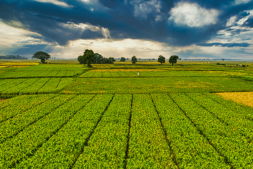
Crop Management
The use of our multispectral cameras consolidates the process of capturing data that gives insight into crop health and vegetation management.
- Land and Soil Analysis
- Determine Water Stress
- Identify Crops With Low Nutrients
- Real-time Weather Feeds

02.
Pest and Disease Control
From analysing the data collected by the multispectral cameras mounted on drones, we can identify areas that are under threat from invasive weeds or diseases. Our drones are able to deliver pesticides, herbicides and fertilisers to affected areas and disperse them accurately.
- Crop Disease Scouting
- Mapping Disease Spread
- Assessing Disease Intensity
- Spraying Chemicals(Fertilizers & Pesticides)
03.
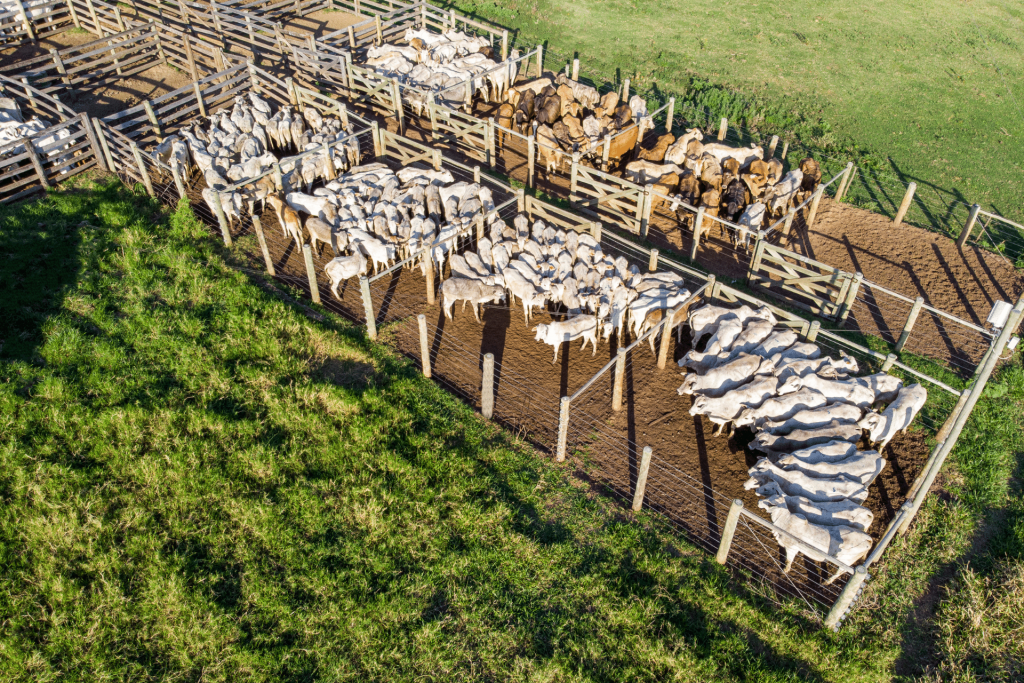
Livestock Management
Finding stray cattle, and detecting sick or injured animals can be performed by the drones, thus reducing the need for feet on the ground and enhancing the information available to farmers to manage their livestock.
- Identify Sick Livestock
- Accurate Count Of Livestock
- Spotting Trespassing Hunters
- Controlling Herder Operations
Get In Touch With Us
Subscribe to our newsletter to stay up-to-date with our latest developments. We will also send our detailed business plan upon subscription to help you understand us more.